Lichk Waterfalls
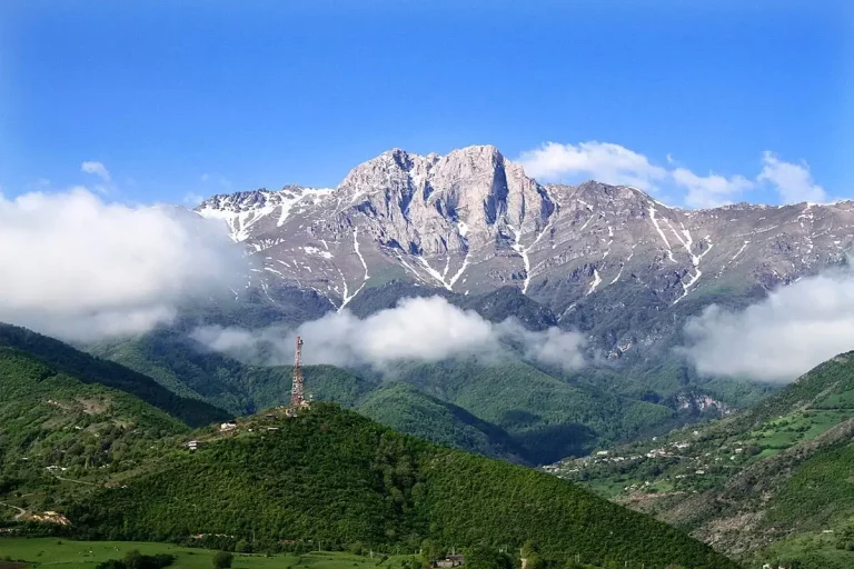
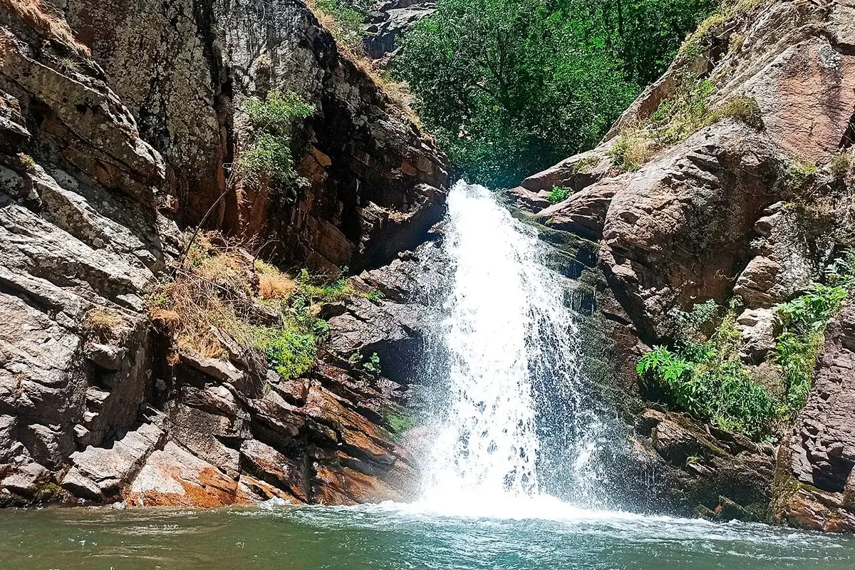
Lichk Waterfalls lie near the mountain village of Lichk in Syunik Province, not far from Meghri. The Zvaraget and Meghri rivers form numerous rapids and cascades among forested slopes and rocky gorges. Most first-time visitors follow the route to four accessible waterfalls on the Zvaraget River, which are located relatively close to one another.
Lichk is far from Armenia’s usual day-trip routes. The visit is best planned with an overnight stay in Meghri, Kapan or the village itself. The waterfalls are within Arevik National Park, so access conditions should be confirmed in advance. This is a remote natural area without the facilities normally found at roadside attractions.
Quick Facts
- Built / Founded: Zvaraget and Meghri
- Location: near Lichk village, Meghri Municipality, Syunik Province
- From Yerevan: around 350–380 km, 20–25 km from Meghri, 50–55 km from Kapan
- Time needed: around 2–3 hours for the walk, excluding the drive
- Best time to visit: late March to October; May and June usually offer the strongest combination of water and greenery
- Status: Arevik National Park
- GPS coordinates:
39.0561, 46.1742
Which Waterfalls Can You Visit?
“Lichk Waterfalls” does not refer to a single fall. The name covers several groups of rapids and cascades on the Zvaraget and Meghri rivers. This is why different sources give totals ranging from four to several dozen. For practical planning, it is more useful to distinguish the accessible Zvaraget route from the more difficult sections along the Meghri River.
Four Waterfalls on the Zvaraget River
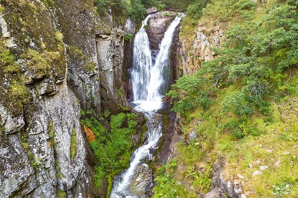
The most straightforward visitor route follows the Zvaraget River. Four accessible waterfalls lie fairly close together and can be seen during one walk. The river drops over layered rock, forming a sequence of cascades and natural pools.
The flow is usually stronger in spring, when the surrounding slopes are at their greenest. The same conditions can make the path and rocks beside the water muddy and slippery. Summer walking is often easier, although the cascades may carry less water. Hiking shoes with a reliable grip are necessary in every season.
Cascades on the Meghri River
Another group of waterfalls extends along the Meghri River and farther into the gorge. These cascades should not be treated as an automatic extension of the standard walk to the four Zvaraget waterfalls. Some sections are difficult to reach, and the route changes with the water level, weather and permitted starting point.
Visitors who want to explore beyond the main group should use a local guide familiar with the approved trails and current conditions. Coordinates found online are not enough for safely navigating the remote parts of the gorge.
Why Do Sources Give Different Numbers?
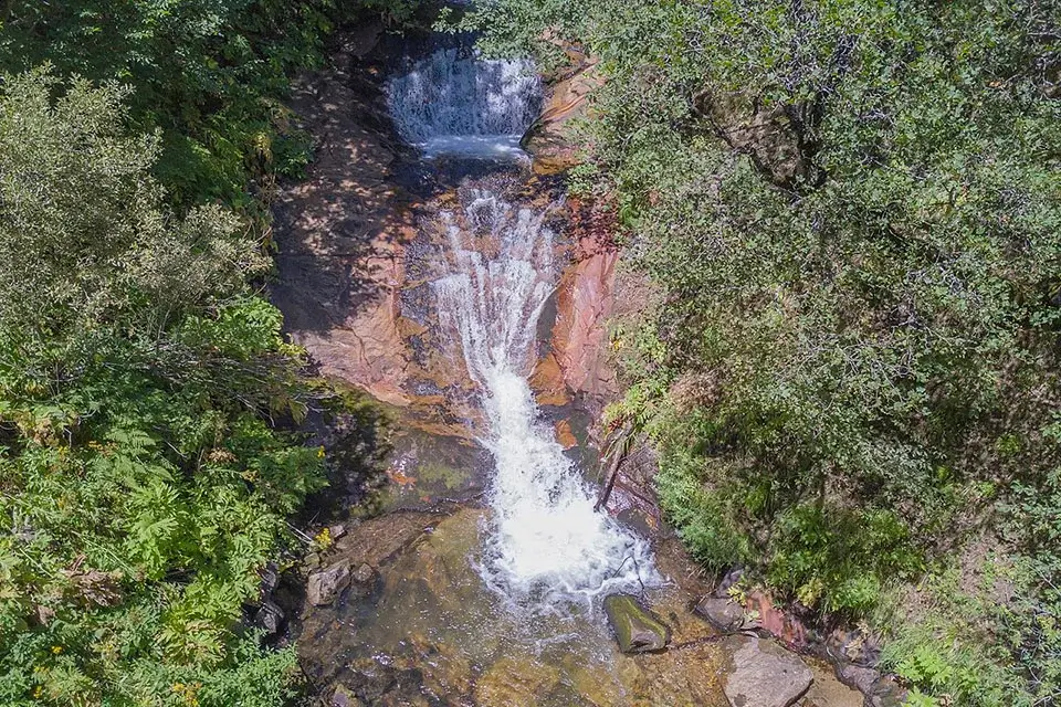
Some descriptions mention four waterfalls, while others refer to around twenty or even more. The figures describe different things: four is the accessible group normally visited on the Zvaraget route, while larger totals include remote cascades and rapids on both rivers.
There is no widely accepted numbered list of every fall, and the boundary between a small waterfall, a rapid and one section of a larger cascade is subjective. For visitors, four accessible waterfalls is therefore the clearest and most useful description.
Where Are Lichk Waterfalls?
Lichk is a highland village in Meghri Municipality in southern Syunik. It lies northwest of Meghri on the mountain road towards Kajaran. Do not confuse it with the larger village of the same name beside Lake Sevan in Gegharkunik Province.
The main waterfall group begins roughly two kilometres from the village and lies within Arevik National Park. The landscape feels very different from the hot Aras Valley around Meghri: Lichk is higher, cooler and surrounded by mountain streams, woodland and green slopes.
How to Get to Lichk Waterfalls
From Meghri
Meghri is the most convenient base. Lichk is approximately 20–25 km away by the mountain road towards Kajaran. Driving time depends on road conditions and the agreed starting point for the walk.
A car can reach the village and, in suitable conditions, continue towards the trail area. The final approach road may be unpaved. A regular vehicle may manage part of it in dry weather, while higher ground clearance is preferable after rain or during the spring thaw. Do not continue along an unfamiliar dirt road using navigation alone; arrange the meeting point with a local guide or the park administration.
From Kapan
Lichk is approximately 50–55 km from Kapan via the mountain road towards Kajaran and Meghri. The trip can be combined with time in Kapan and Halidzor Fortress, but leave a generous margin for the hike and changing road conditions.
From Yerevan
The distance from Yerevan is roughly 350–380 km, depending on the route and starting point. The drive through Vayots Dzor and Syunik takes at least 6–7 hours each way without long stops. Travelling from Yerevan to the waterfalls and back in one day is not practical.
Plan at least two days and stay overnight in Meghri or Kapan. A car with driver in Yerevan can cover the long intercity journey, while park access, a local guide and any specialist vehicle for the final approach should be arranged separately.
It is possible to include Tatev Monastery elsewhere in a southern Armenia itinerary, but Tatev, Meghri and the waterfall hike should not be compressed into a single day.
The Route to the Four Accessible Waterfalls
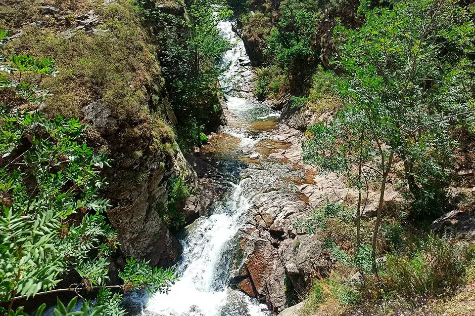
One common version of the hike begins near Arevik campsite and follows the Zvaraget gorge. Local descriptions give distances of both 2 km and 4 km: approximately 2 km can describe the walk in one direction, while around 4 km refers to the return route.
A typical visit includes:
- confirming access and the meeting point in advance;
- driving to Lichk village or the agreed start near Arevik campsite;
- following the gorge on foot towards the cascades;
- visiting the four accessible waterfalls in sequence;
- returning along the same path.
Allow around 2–3 hours for the walk, excluding the road journey. The route is generally described as moderate, but it can feel harder after rain, during high water or when walking with children. There are no continuous railings, even steps or permanent rescue services beside the cascades.
Do not continue higher into the gorge unless that section has been agreed with a guide. Mobile reception may be unreliable, and an offline map cannot show current water levels, fallen rocks or damaged sections of the trail.
Permit and Entrance Arrangements
The waterfalls are within Arevik National Park, managed by the Zangezur Biosphere Complex under Armenia’s Ministry of Environment. Current regional visitor information states that entry to the protected areas must be arranged in advance and may require a permit, an entrance payment and accompaniment.
Fees and access procedures can change, so confirm the open route, meeting point, guide requirement and permitted transport before departure. Do not rely on an old entrance price found in a tour description.
- Zangezur Biosphere Complex telephone:
+374 60 75 00 57 - Email:
[email protected] - Administration address: 42/27 Melik-Stepanyan Street, Kapan, Syunik Province
- Official contact page: Ministry of Environment of Armenia
Contact the administration on a working day well before the hike. Weather, trail conditions and conservation measures may lead to temporary restrictions.
Best Time to Visit
- Late March–April: the flow increases, but shaded sections can remain muddy and may still hold patches of snow.
- May–June: usually the best combination of strong cascades, green scenery and comfortable temperatures. Rocks become particularly slippery after rain.
- July–August: the trail is often drier, but afternoons can be hot and the waterfalls may carry less water. Start in the morning.
- September–October: pleasant walking temperatures and autumn colours, generally with a lower flow than in spring.
- November–March: snow, ice and the mountain road make access unpredictable. Consider a winter visit only after a local guide confirms that the route is open and safe.
May, June and early autumn are the most practical periods for a first visit. Avoid starting immediately after heavy rain.
Can You Swim in the Natural Pools?
Natural pools have formed beneath some of the cascades, but they are not equipped swimming areas. There are no lifeguards, handrails, inspected depths or officially marked safe zones. The water remains cold even in summer, and wet rocks can be extremely slippery.
Ask the accompanying guide whether entering the water is allowed under current park rules and river conditions. Never stand directly beneath a powerful fall, jump from the rocks or enter a pool during high water.
What to Bring
- hiking shoes with non-slip soles;
- drinking water and food for the walk;
- a light waterproof or windproof layer;
- hat and sun protection;
- spare socks or a small change of dry clothing;
- basic first-aid supplies and personal medication;
- charged phone and power bank;
- an offline map of the area;
- a bag for carrying out all rubbish.
Even when Meghri is hot, the weather in highland Lichk can be noticeably cooler. Check the forecast for the village and the mountain route rather than relying only on conditions in the Aras Valley.
Is the Hike Suitable for Children?
The shorter route may suit active school-age children who are comfortable walking on uneven ground. It is inconvenient for very young children: rocks near the water are slippery, there are no barriers, and some sections require secure footing and good balance.
Make the final decision after checking the route conditions. Postpone a family walk after heavy rain or when the river is high.
Why Is the Village Called Lichk?
The name is associated with the Armenian word lich, meaning “lake”. Mountain lakes and numerous springs lie above the village, and the abundance of water is also reflected in the many streams and cascades around Lichk.
The high-altitude lakes belong to separate and more demanding routes. Do not add them to the waterfall walk without checking current access and arranging suitable guidance.
Frequently Asked Questions
Lichk is one of Armenia’s most remote waterfall destinations. Unlike Shaki or Jermuk, it is not a quick roadside stop but a separate journey into southern Syunik. Browse more waterfalls in Armenia to compare distances, seasons and route difficulty.