Mount Hatis

Mount Hatis is an isolated volcanic cone in the Kotayk Province of Armenia, about an hour’s drive east of Yerevan, and one of the most accessible day hikes within easy reach of the capital. A 2,528-metre summit of the western Geghama range with three logical trailheads and a layered Armenian history attached, it has long served as the standard “warm-up volcano” for beginning hikers and as a year-round outing for trail runners and ski tourers.
Quick Facts
- Location: Kotayk Province
- Contained in: Geghama Range
- Also known as: Hatis, Hadis, Mount Shamiram, Հատիս
- From Yerevan: About 50–70 minutes by car
- Elevation: 2,528 m
- Entrance fee: Free
- Time needed: 3.5–5.5 hours hiking; full day with the drive
- Best time to visit: October to June; early morning in summer
- Status: Volcanic mountain / hiking route
- GPS coordinates:
40.3142, 44.7174
About the mountain
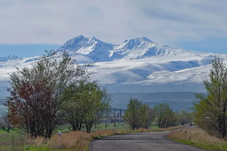
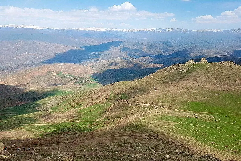
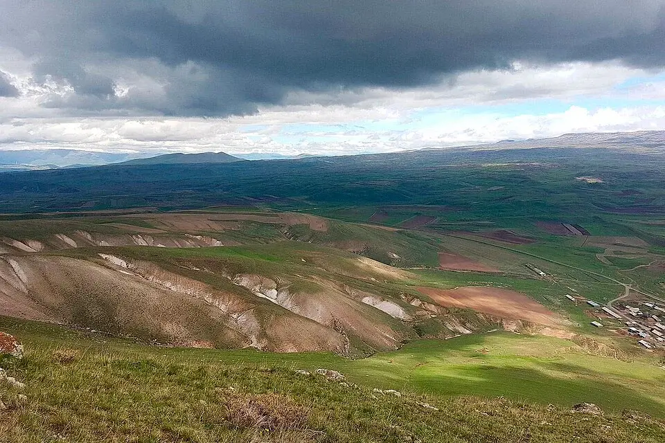
Hatis (Armenian: Հատիս) is a cone-shaped extinct volcano of the Geghama range, sitting about 2.5 kilometres southeast of the village of Kaputan in Kotayk. Its slopes are cut by deep ravines and rocky projections in the upper section, with alpine meadow and steppe vegetation lower down. The mountain is visible from large parts of central Yerevan and is one of the most recognisable shapes on the city’s eastern horizon.
The name itself has more than one origin story. Most likely it comes from Attis, an Anatolian dying-and-resurrecting god whose cult reached the Armenian highlands in antiquity. Another tradition links the name to the Greek Hades — an underworld counterpart to the Armenian dying-and-resurrecting hero Ara the Beautiful, who is associated with the neighbouring Mount Ara directly across the valley. A third name occasionally appears in older sources, Mount Shamiram (or Semiramis), tied to the legend of the Assyrian queen who, the story goes, drew up her army on these slopes for the battle against Ara the Beautiful.
A small cave sits on the summit — sometimes called the “Cave of Hatis” — and the ruins of an old fortress traditionally identified as the Shamiram fortress lie on the upper slopes. At the southern foot of the mountain rise the Karasunakn springs (qarasunakn — “forty springs”), which in 1912 were tapped to supply Yerevan with its first piped drinking water. The aqueduct foundations are still in place near Zar village.
Trail options
Mount Hatis has several logical lines of ascent, depending on which village you start from and what kind of day you want. None of them require technical climbing skills in summer conditions.
From Kaputan (the classic route)
The standard line follows the south or southeast slope to a gentle summit ridge. This is the busiest and best-marked of the three approaches, the most convenient for an early-morning departure from Yerevan, and the right choice for a first time on the mountain.
From Zovashen (north slope)
Cooler in summer and noticeably snowier in spring and autumn. Snow tends to linger on the north-facing ridge late into the season; in winter and after storms, expect a snow cornice near the top and bring micro-spikes or chains.
From Argel (west / southwest)
Quieter and a bit wilder, with fewer hikers on the trail. The final exit onto the summit ridge is the steepest of the three routes — take it slow on the descent.
Loop and link-up routes
If you want a longer day, the most popular variants are a full loop around the cone or a Hatis–Gutanasar link-up that combines both volcanoes in one outing. These extended routes run 18 to 22 km with 900 to 1,100 m of cumulative gain and need an early start and a careful water plan.
Trail summary:
| Start | Distance (round trip) | Elevation gain | Moving time | Difficulty* | Note |
|---|---|---|---|---|---|
| Kaputan | ~10–12 km | ~600–750 m | 3.5–5 h | ★★☆ | Classic route, usually the busiest option |
| Zovashen | ~9–11 km | ~650–800 m | 3.5–5.5 h | ★★☆ | Cooler in summer, but holds more snow in shoulder season |
| Argel | ~9–12 km | ~600–800 m | 4–5.5 h | ★★☆ | Quieter route with a steeper ridge exit |
| Loop / Hatis–Gutanasar | 18–22 km | ~900–1,100 m | 6–8 h | ★★★ | For fit hikers only; start early |
Indicative grading for non-technical hiking in dry conditions.
When to go
- October–April: the most comfortable window — cool, clear, with the best visibility for photography.
- May–June: green slopes; expect lingering ice in the early mornings on the north side.
- July–September: hot and dry; start at first light to beat the heat and the afternoon thunderstorms that build over the Geghama range.
- Winter: strong wind and ice are routine on the ridge. Without winter-hiking experience, stick to a short outing on a calm, clear day; better yet, postpone to spring.
The lower northern flank above Hatis village is also used for ski touring from January to mid-April, with a 4.5 km route between roughly 2,022 m and the summit — best done around midday, when the snow softens.
Difficulty and who the hike suits
Hatis is a moderate day hike on open terrain. It suits hikers with basic fitness, school-age children walking with parents, trail runners and anyone preparing for higher peaks like Azhdahak or Aragats. There is no scrambling on the standard routes; the main difficulty drivers are wind on the exposed ridge, scree on the descent and ice in the shoulder seasons.
What to bring
- Hiking boots with a grippy sole; trekking poles useful but not essential
- Windproof shell and a warm layer for the ridge; a light rain jacket in summer
- 1.5–2.5 litres of water per person — there are no reliable water sources on the trail
- Offline map or GPX track, head torch, power bank, whistle and a light emergency blanket
- Sun protection: category-3 sunglasses, SPF 50+ sunscreen, cap or sunhat
- In winter and shoulder season: micro-spikes or chains, warm gloves, a beanie; a light ice axe if the ridge is iced over
Safety
- Wind on the ridge picks up sharply in the afternoon — keep an eye on the forecast and visibility.
- Heat and hydration. In summer, start at sunrise and carry enough water; there is no shade at all above the lower slopes.
- Scree on the descent. Loose rock slides under boots — keep 5–10 m between hikers on the way down.
- Snakes. Several reptile species live on the lower slopes; stay on the trail and watch your step in tall grass during the warm months.
- Mobile coverage drops out between the trailhead villages and the summit and only returns at the very top — do not rely on cellular for navigation.
- Leave no trace. Take all your rubbish out and stay off fragile vegetation.
How to get to Mount Hatis from Yerevan
Drive northeast from Yerevan toward Abovyan and Nor Geghi, then turn off toward Kaputan for the classic route, or carry on to Zovashen or Argel for the other two approaches. The road is tarmacked all the way to the villages; the last few hundred metres up to each trailhead are dirt tracks. The drive from central Yerevan takes 50 to 70 minutes depending on the trailhead and the season.
The most comfortable way to do the hike as a day trip is with a car with driver — you can be dropped at one trailhead and picked up at another, which opens the Hatis–Gutanasar link-up route, and combine the hike with Garni Temple and Geghard Monastery on the way back.
What to see nearby
Hatis sits inside one of the densest sightseeing clusters in Armenia. Within a 30–45 minute drive you have:
- The Karasunakn springs and the 1912 aqueduct ruins at the southern foot of the mountain — the historic origin of Yerevan’s first piped water supply.
- Surb Poghos-Petros Church (Saint Paul and Peter) near Zar village, at the foot of the mountain — a small modern pilgrimage church.
- The classic Kotayk pair of Garni Temple and Geghard Monastery — easy to add to the day on the way back to Yerevan.
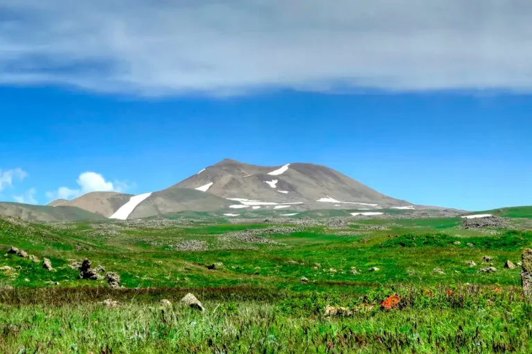
- Neighbouring peaks: Mount Gutanasar, the easy starter volcano just north of Hatis, and Mount Ara (Aralеr) across the valley to the west, a bigger day out with more elevation gain.
- For a step up in difficulty: Mount Azhdahak, with its crater lake on the highest peak of the Geghama range, or the long climb to Mount Aragats, the highest mountain in Armenia.
Frequently asked questions
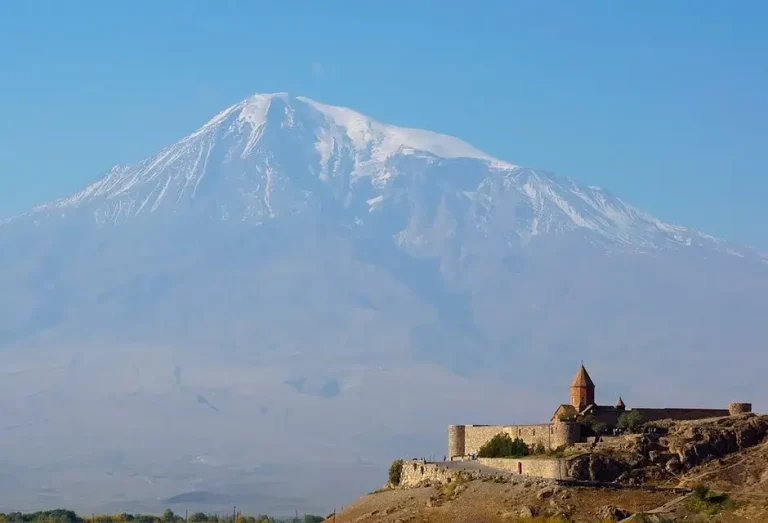
Mount Hatis is the most versatile day mountain in central Armenia: a manageable hike with multiple approaches, a winter ski route, a panoramic summit pointing back at Yerevan and across to Mount Ararat, and a layered history that runs from a pre-Christian Anatolian deity through medieval fortress ruins to the 1912 aqueduct that brought drinking water to the capital. For an early-morning warm-up day or a back-up plan in changeable weather, it is hard to beat.